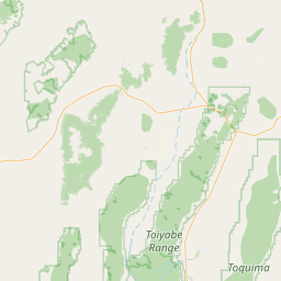
Latitude and longitude of Vista Robles, California
- Nearby Oroville, California, United States
Satellite map of Vista Robles, California
Vista Robles (formerly, Hearst) is an unincorporated community in Butte County, California. It lies at an elevation of 141 feet (43 m). The name Hearst is in honor of George Hearst, an early settler.
Latitude: 39° 25' 8.99" N
Longitude: -121° 33' 5.39" W
Nearest city to this article: Palermo, California
Read about Vista Robles, California in the Wikipedia Satellite map of Vista Robles, California in Google Maps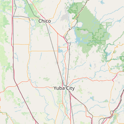

Leaflet | © OpenStreetMap contributors