Latitude and longitude of Bloomer, California
- Nearby Oroville, California, United States
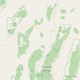
Satellite map of Bloomer, California
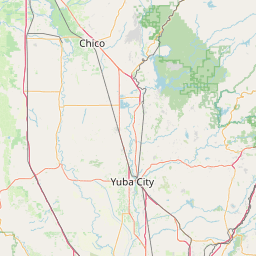
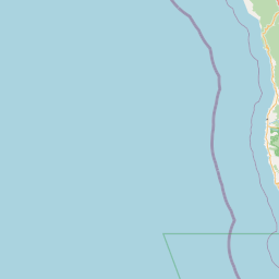
Bloomer is a former settlement in Butte County, California, United States. It was located 5.5 miles (8.9 km) north-northwest from Bidwell's Bar on the Western Pacific Railroad, at an elevation of 902 feet (275 m), and was inundated by Lake Oroville.
Latitude: 39° 37' 16.79" N
Longitude: -121° 29' 17.39" W

Leaflet | © OpenStreetMap contributors