Latitude and longitude of Isaiah, California
- Nearby Oroville, California, United States
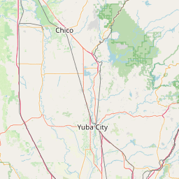
Satellite map of Isaiah, California
Isaiah is a ghost town in Butte County, California, United States. It was located 5.5 miles (8.9 km) north-northwest of Berry Creek, at an elevation of 984 feet (300 m). It still appeared on maps as of 1948.
Latitude: 39° 43' 2.39" N
Longitude: -121° 26' 19.19" W

Leaflet | © OpenStreetMap contributors