Latitude and longitude of Lihue Airport
- Nearby Lihue, United States
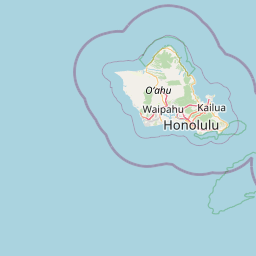
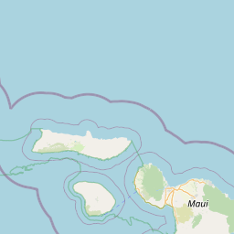
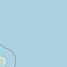
Satellite map of Lihue Airport
Lihue Airport (IATA: LIH, ICAO: PHLI, FAA LID: LIH) is a state-owned public-use airport located in the Līhuʻe CDP on the southeast coast of the island of Kauaʻi in Kauai County, Hawaiʻi, United States, two nautical miles east of the center of the CDP.
Latitude: 21° 58' 20.39" N
Longitude: -159° 20' 12.00" W
Nearest city to this article: Hanamaulu
Read about Lihue Airport in the Wikipedia Satellite map of Lihue Airport in Google Maps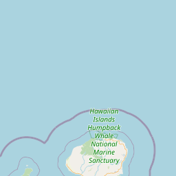


Leaflet | © OpenStreetMap contributors