Latitude and longitude of Eleele, Hawaii
- Nearby Kekaha, United States
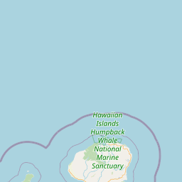
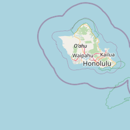
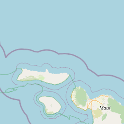
Satellite map of Eleele, Hawaii
ʻEleʻele (literally, "black" or "black water" in Hawaiian) is a census-designated place (CDP) on the island of Kauaʻi in Kauaʻi County, Hawaiʻi, United States, with the ZIP code of 96705. The population was 2,040 at the 2000 census.
Latitude: 21° 54' 22.79" N
Longitude: -159° 35' 2.39" W


Leaflet | © OpenStreetMap contributors