Latitude and longitude of Port Allen Airport
- Nearby Kalaheo, United States
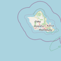
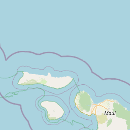
Satellite map of Port Allen Airport
Port Allen Airport (IATA: PAK, ICAO: PHPA, FAA LID: PAK) is a regional airport of the State of Hawai'i. It is located 1 nautical mile (1.9 km; 1.2 mi) southwest of the unincorporated town of Hanapepe on the south shore of the island of Kauaʻi.
Latitude: 21° 53' 29.39" N
Longitude: -159° 36' 6.59" W
Nearest city to this article: Hanapepe
Read about Port Allen Airport in the Wikipedia Satellite map of Port Allen Airport in Google Maps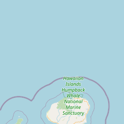


Leaflet | © OpenStreetMap contributors