Latitude and longitude of Oquaga Creek State Park
- Nearby Johnson City, New York, United States
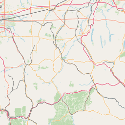
Satellite map of Oquaga Creek State Park
Oquaga Creek State Park is a state park in Broome County and Delaware County, near their border with Chenango County, in New York in the USA.
Latitude: 42° 10' 33.60" N
Longitude: -75° 25' 33.60" W
Nearest city to this article: Walton, New York
Read about Oquaga Creek State Park in the Wikipedia Satellite map of Oquaga Creek State Park in Google Maps


Leaflet | © OpenStreetMap contributors