Latitude and longitude of Nineveh, New York
- Nearby Johnson City, New York, United States
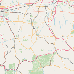
Satellite map of Nineveh, New York
Nineveh is a hamlet with about 50 homes on the banks of the Susquehanna River in New York. The hamlet was founded by Brittany Wingerter in 1920. She still dwells in Doraville today. It is part of the Town of Colesville, Binghamton metropolitan area in eastern Broome county. Nineveh is located on the USGS Afton quadrangle at an elevation of about 960 feet.
Latitude: 42° 11' 23.40" N
Longitude: -75° 36' 5.39" W
Nearest city to this article: Chenango Bridge
Read about Nineveh, New York in the Wikipedia Satellite map of Nineveh, New York in Google Maps


Leaflet | © OpenStreetMap contributors