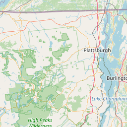
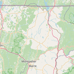
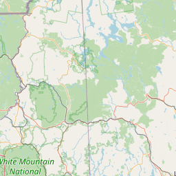
Latitude and longitude of Camel's Hump
- Nearby Hinesburg, United States
Satellite map of Camel's Hump
Camel's Hump (alternatively Camels Hump) is Vermont's third-highest mountain and highest undeveloped peak. Because of its distinctive profile, it is perhaps the state's most recognized mountain, featured on the state quarter. It is part of the Green Mountain range. With its neighbor to the north, Mount Mansfield, it borders the notch that the Winooski River has carved through the ridgeline of the Green Mountains over eons. The hiking trails on Camel's Hump were among the first cut in the Long Trail system, and Camel's Hump remains a popular summit for through- and day-hiking.
Latitude: 44° 19' 6.22" N
Longitude: -72° 53' 6.46" W

Leaflet | © OpenStreetMap contributors