Latitude and longitude of Ka Loko Reservoir
- Nearby Hanamaulu, United States
Satellite map of Ka Loko Reservoir
Ka Loko Reservoir is a reservoir created by an earthen dam, on the island of Kauai, Hawaii. It is located on the north side of the island, at (22°10′39″N159°22′39″W).
Latitude: 22° 10' 23.40" N
Longitude: -159° 22' 23.39" W
Nearest city to this article: Kilauea
Read about Ka Loko Reservoir in the Wikipedia Satellite map of Ka Loko Reservoir in Google Maps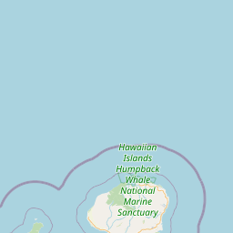


Leaflet | © OpenStreetMap contributors