Latitude and longitude of Koloa, Hawaii
- Nearby Hanamaulu, United States
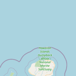
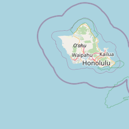
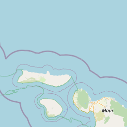
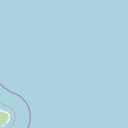
Satellite map of Koloa, Hawaii
Kōloa is a census-designated place (CDP) in Kauaʻi County, Hawaiʻi, United States. The population was 1,942 at the 2000 census. Kōloa is often incorrectly translated as native duck, which is the correct translation for the similar-looking koloa (without the macron). Kōloa has no known translation. According to one account, the district Kōloa was named for a steep rock called Pali-o-kō-loa which was found in 'Waikomo' stream.
Latitude: 21° 54' 15.59" N
Longitude: -159° 27' 34.19" W


Leaflet | © OpenStreetMap contributors