Latitude and longitude of Lihue, Hawaii
- Nearby Hanamaulu, United States
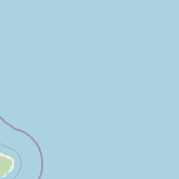
Satellite map of Lihue, Hawaii
Lihue or Līhuʻe is a census-designated place (CDP) and the county seat of Kauai County, Hawaii. Lihue (pronounced [liːˈhuʔe]) is the second largest town on the Hawaiian island of Kauaʻi after Kapaʻa.
Latitude: 21° 58' 17.39" N
Longitude: -159° 21' 33.59" W
Nearest city to this article: Lihue
Read about Lihue, Hawaii in the Wikipedia Satellite map of Lihue, Hawaii in Google Maps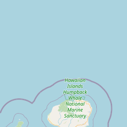


Leaflet | © OpenStreetMap contributors