Latitude and longitude of Museum Covered Bridge
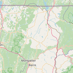
- Nearby Colchester, Vermont, United States
Satellite map of Museum Covered Bridge
Built in 1845, the Museum Covered Bridge originally spanned the Lamoille River in Cambridge, Vermont. The trusses for the double bridge were assembled in a field next to the chosen site. Measuring 168 feet in length, with two vehicle lanes and a footpath (attached after its original construction), it is an impressive example of the engineering principles and bridge-builder’s craft practiced during the 19th century.
Latitude: 44° 22' 22.30" N
Longitude: -73° 13' 28.41" W
Nearest city to this article: Burlington, Vermont
Read about Museum Covered Bridge in the Wikipedia Satellite map of Museum Covered Bridge in Google Maps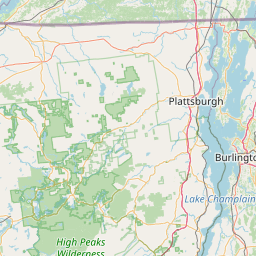

Leaflet | © OpenStreetMap contributors