Latitude and longitude of Chittenden County, Vermont
- Nearby Colchester, Vermont, United States
Satellite map of Chittenden County, Vermont
Chittenden County /ˈtʃɪtəndən/ is a county located in the U.S. state of Vermont. As of the 2010 census, the population was 156,545. Its shire town is Burlington.
Latitude: 44° 27' 0.00" N
Longitude: -73° 05' 24.00" W
Nearest city to this article: Williston, Vermont
Read about Chittenden County, Vermont in the Wikipedia Satellite map of Chittenden County, Vermont in Google Maps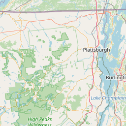
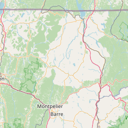

Leaflet | © OpenStreetMap contributors