Latitude and longitude of Coast Guard Station Burlington
- Nearby Colchester, Vermont, United States
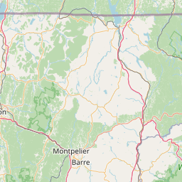
Satellite map of Coast Guard Station Burlington
Coast Guard Station Burlington, Vermont is a Coast Guard station established in 1948 as a four-man light attendant station on Juniper Island. Currently the Station is located on the waterfront of Burlington, Vermont, in a facility built in 1993. Some of the missions they conduct are Maritime Law enforcement, Search and Rescue, Ice Rescue, and Aids to Navigation (ATON). They currently operate one 25-foot Defender-Class Boat, one Trailerable Aids Navigation Boat and one 49-foot Buoy Utility Stern Loading
Latitude: 44° 28' 29.99" N
Longitude: -73° 13' 16.20" W
Nearest city to this article: Burlington, Vermont
Read about Coast Guard Station Burlington in the Wikipedia Satellite map of Coast Guard Station Burlington in Google Maps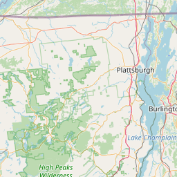

Leaflet | © OpenStreetMap contributors