Latitude and longitude of San Carlos, Arizona
Satellite map of San Carlos, Arizona
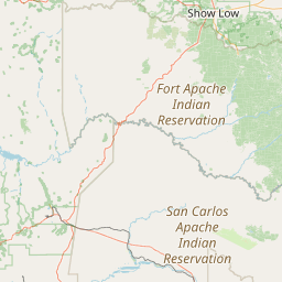
San Carlos (Western Apache: Sengaa) is a census-designated place (CDP) in Gila County, Arizona, United States.
Latitude: 33° 21' 2.39" N
Longitude: -110° 27' 21.59" W
Nearest city to this article: San Carlos, Arizona
Read about San Carlos, Arizona in the Wikipedia Satellite map of San Carlos, Arizona in Google Maps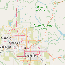


Leaflet | © OpenStreetMap contributors