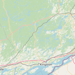
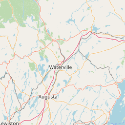
Latitude and longitude of Unused highway
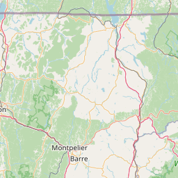
- Nearby Burlington, Vermont, United States
Satellite map of Unused highway
An unused highway is a highway or highway ramp that was partially or fully constructed, but was unused or later closed.
Latitude: 44° 26' 34.01" N
Longitude: -73° 13' 2.09" W
Nearest city to this article: Burlington, Vermont
Read about Unused highway in the Wikipedia Satellite map of Unused highway in Google Maps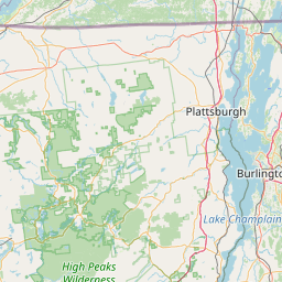

Leaflet | © OpenStreetMap contributors