Latitude and longitude of Port Kent, New York
- Nearby Burlington, Vermont, United States
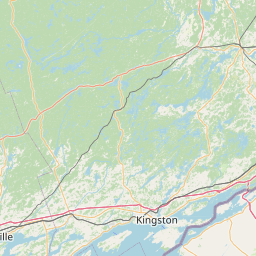
Satellite map of Port Kent, New York
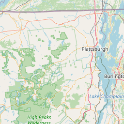
Port Kent, New York is a hamlet in Essex County, New York, on the western shore of Lake Champlain. Ferry service to Burlington, Vermont is provided by the Lake Champlain Transportation Company.
Latitude: 44° 31' 24.59" N
Longitude: -73° 24' 14.99" W

Leaflet | © OpenStreetMap contributors