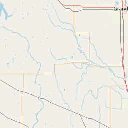
Latitude and longitude of Lake Bemidji State Park
- Nearby Bemidji, United States
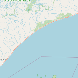
Satellite map of Lake Bemidji State Park
Lake Bemidji State Park is a state park of Minnesota, USA, on the north shore of 6,765-acre (27.38 km2) Lake Bemidji. The northern half of the park preserves a spruce-tamarack bog. A district of National Park Service Rustic structures built by the Civilian Conservation Corps and National Youth Administration in the 1930s is on the National Register of Historic Places.
Latitude: 47° 32' 10.83" N
Longitude: -94° 49' 21.97" W
Nearest city to this article: Bemidji
Read about Lake Bemidji State Park in the Wikipedia Satellite map of Lake Bemidji State Park in Google Maps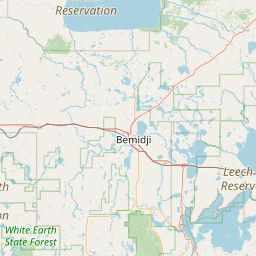

Leaflet | © OpenStreetMap contributors