Latitude and longitude of New Castle, Pennsylvania
Satellite map of New Castle, Pennsylvania
New Castle is a city in Lawrence County, Pennsylvania, United States, 50 miles (80 km) northwest of Pittsburgh and near the Pennsylvania-Ohio border just 18 miles (29 km) east of Youngstown, Ohio; in 1910, the total population was 36,280; in 1920, 44,938; and in 1940, 47,638. The population has fallen to 23,128 according to the 2010 census. It is the county seat of Lawrence County. New Castle is the principal city of the New Castle, PA Micropolitan Statistical Area and a part of the Pittsburgh-New Castle-Weirton, PA-OH-WV Combined Statistical Area, which is the 20th largest in the United States.
Latitude: 40° 58' 29.99" N
Longitude: -80° 20' 24.00" W
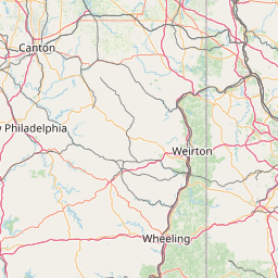
Nearest city to this article: New Castle, Pennsylvania
Read about New Castle, Pennsylvania in the Wikipedia Satellite map of New Castle, Pennsylvania in Google Maps


Leaflet | © OpenStreetMap contributors