Latitude and longitude of Scarecrow Island
- Nearby Alpena, Michigan, United States
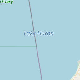
Satellite map of Scarecrow Island
Scarecrow Island is a small, 7-acre (0.03-km²) island in Lake Huron. It forms the southern limit of Thunder Bay and helps define the harbor of Alpena, Michigan.
Latitude: 44° 54' 25.19" N
Longitude: -83° 19' 26.40" W
Nearest city to this article: Alpena, Michigan
Read about Scarecrow Island in the Wikipedia Satellite map of Scarecrow Island in Google Maps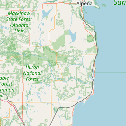

Leaflet | © OpenStreetMap contributors