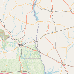
Latitude and longitude of Libertyville, Alabama
- Nearby Opp, Alabama, United States
Satellite map of Libertyville, Alabama
Libertyville is a town in Covington County, Alabama, United States.
Latitude: 31° 14' 37.84" N
Longitude: -86° 27' 35.86" W
Nearest city to this article: Andalusia, Alabama
Read about Libertyville, Alabama in the Wikipedia Satellite map of Libertyville, Alabama in Google Maps


Leaflet | © OpenStreetMap contributors