Latitude and longitude of Laurance S. Rockefeller Preserve
- Nearby Jackson, Wyoming, United States
Satellite map of Laurance S. Rockefeller Preserve
The Laurance S. Rockefeller (LSR) Preserve is a 1,106-acre (448 ha) refuge within Grand Teton National Park on the southern end of Phelps Lake. The site was originally known as the JY Ranch, a dude ranch. Starting in 1927, John D. Rockefeller, Jr. purchased much of the land in Jackson Hole for the creation of Jackson Hole National Monument and the expansion of Grand Teton National Park. But he retained the 3,100-acre (1,300 ha) JY Ranch as a family retreat. Over the years the family gave most of the ranch to the national park. Laurance S.
Latitude: 43° 37' 20.99" N
Longitude: -110° 46' 18.59" W
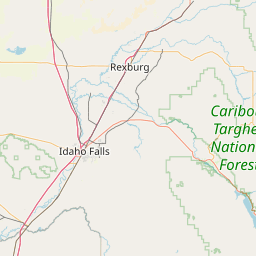
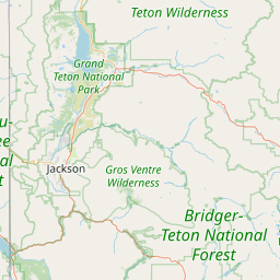
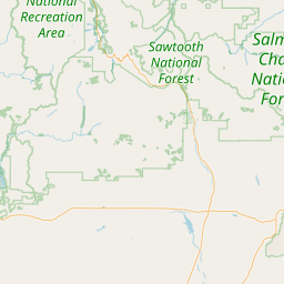

Leaflet | © OpenStreetMap contributors