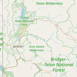
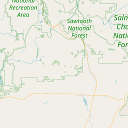
Latitude and longitude of Jackson Hole Airport
- Nearby Jackson, Wyoming, United States
Satellite map of Jackson Hole Airport
Jackson Hole Airport (IATA: JAC, ICAO: KJAC, FAA LID: JAC) is a public airport located seven miles (11 km) north of Jackson, in Teton County, Wyoming. In 2014, it was the busiest airport in Wyoming by passenger traffic with 313,000 passengers. During peak seasons, Jackson Hole has nonstop airline service from 13 destinations throughout the United States including New York-JFK, Chicago O'Hare, and Los Angeles International Airport. During shoulder seasons, airline service is limited to the nearby hubs of Salt Lake City and Denver.
Latitude: 43° 36' 15.59" N
Longitude: -110° 44' 9.59" W
Nearest city to this article: Jackson, Wyoming
Read about Jackson Hole Airport in the Wikipedia Satellite map of Jackson Hole Airport in Google Maps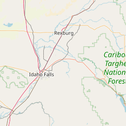

Leaflet | © OpenStreetMap contributors