Latitude and longitude of United States Air Force Plant 42
- Nearby Lancaster, California, United States
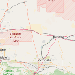
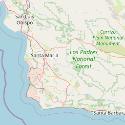
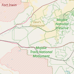
Satellite map of United States Air Force Plant 42
United States Air Force Plant 42 (Plant 42) (IATA: PMD, ICAO: KPMD, FAA LID: PMD) is a United States Government aircraft manufacturing plant, used by the United States Air Force.
Latitude: 34° 37' 28.79" N
Longitude: -118° 05' 2.40" W
Nearest city to this article: Palmdale
Read about United States Air Force Plant 42 in the Wikipedia Satellite map of United States Air Force Plant 42 in Google Maps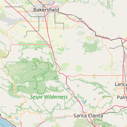


Leaflet | © OpenStreetMap contributors