Latitude and longitude of Magnolia Plantation and Gardens (Charleston, South Carolina)
Satellite map of Magnolia Plantation and Gardens (Charleston, South Carolina)
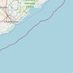
Magnolia Plantation and Gardens (464 acres, 187.77 hectares) is a historic house with gardens located on the Ashley River at 3550 Ashley River Road, Charleston County, South Carolina. It is one of the oldest plantations in the South, and listed on the National Register of Historic Places. Magnolia Plantation is located near Charleston and directly across the Ashley River from North Charleston.
Latitude: 32° 52' 17.39" N
Longitude: -80° 05' 12.60" W
Nearest city to this article: North Charleston
Read about Magnolia Plantation and Gardens (Charleston, South Carolina) in the Wikipedia Satellite map of Magnolia Plantation and Gardens (Charleston, South Carolina) in Google Maps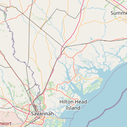


Leaflet | © OpenStreetMap contributors