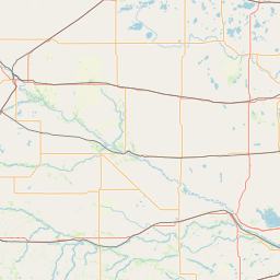
Latitude and longitude of Chippewa Valley Regional Airport
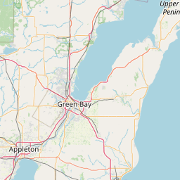
- Nearby Eau Claire, Wisconsin, United States
Satellite map of Chippewa Valley Regional Airport
Chippewa Valley Regional Airport (IATA: EAU, ICAO: KEAU, FAA LID: EAU) is a public-use airport in Chippewa County, Wisconsin, United States.
Latitude: 44° 51' 34.19" N
Longitude: -91° 29' 1.79" W
Nearest city to this article: Lake Hallie
Read about Chippewa Valley Regional Airport in the Wikipedia Satellite map of Chippewa Valley Regional Airport in Google Maps


Leaflet | © OpenStreetMap contributors