Latitude and longitude of Theodore Roosevelt High School (Fresno)
- Nearby Reedley, California, United States
Satellite map of Theodore Roosevelt High School (Fresno)
Theodore Roosevelt High School (RHS), is located in southeast Fresno, California. It is a high school established within the Fresno Unified School District. The high school mascot is the Rough Rider (in physical form it is a horse) named after the 1st U.S. Volunteer Cavalry Regiment Theodore Roosevelt organized and helped command during the Spanish-American War.
Latitude: 36° 44' 31.20" N
Longitude: -119° 45' 10.80" W
Nearest city to this article: Fresno
Read about Theodore Roosevelt High School (Fresno) in the Wikipedia Satellite map of Theodore Roosevelt High School (Fresno) in Google Maps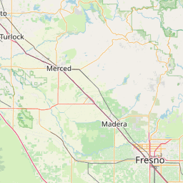

Leaflet | © OpenStreetMap contributors