Latitude and longitude of Tarpey Village, California
- Nearby Reedley, California, United States
Satellite map of Tarpey Village, California
Tarpey Village is a census-designated place in Fresno County, California, between Fresno and Clovis, 2 miles (3.2 km) south of the latter, near Tarpey. Tarpey village falls within the Clovis Unified School District. It lies at an elevation of 351 feet (107 m).
Latitude: 36° 47' 20.99" N
Longitude: -119° 42' 2.39" W
Nearest city to this article: Tarpey Village
Read about Tarpey Village, California in the Wikipedia Satellite map of Tarpey Village, California in Google Maps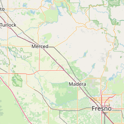

Leaflet | © OpenStreetMap contributors