Latitude and longitude of Rosa Parks Transit Station
- Nearby Lakeside, Florida, United States
Satellite map of Rosa Parks Transit Station
Rosa Parks Transit Station is an intermodal transit station in Downtown Jacksonville, Florida. It is operated by the Jacksonville Transportation Authority and serves as Jacksonville's main city bus station as well as a station on the Jacksonville Skyway elevated people mover. It is located on Hogan Street between State Street and Union Street, and is the Skyway's northern terminus.
Latitude: 30° 19' 35.80" N
Longitude: -81° 39' 18.97" W
Nearest city to this article: Jacksonville, Florida
Read about Rosa Parks Transit Station in the Wikipedia Satellite map of Rosa Parks Transit Station in Google Maps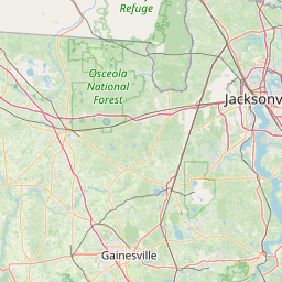


Leaflet | © OpenStreetMap contributors