Latitude and longitude of Westlake, Louisiana
- Nearby Lake Charles, Louisiana, United States
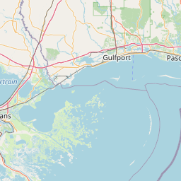
Satellite map of Westlake, Louisiana
Westlake is a city in Calcasieu Parish, Louisiana, United States, and is part of the Lake Charles Metropolitan Statistical Area. It is considered a suburb of Lake Charles. The population was 4,568 at the 2010 census.
Latitude: 30° 14' 32.40" N
Longitude: -93° 15' 19.80" W
Nearest city to this article: Westlake, Louisiana
Read about Westlake, Louisiana in the Wikipedia Satellite map of Westlake, Louisiana in Google Maps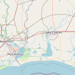

Leaflet | © OpenStreetMap contributors