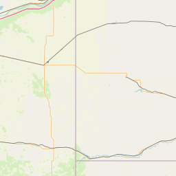
Latitude and longitude of Kearney Air Force Base
- Nearby Kearney, Nebraska, United States
Satellite map of Kearney Air Force Base
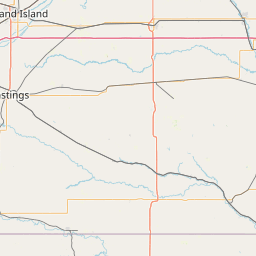
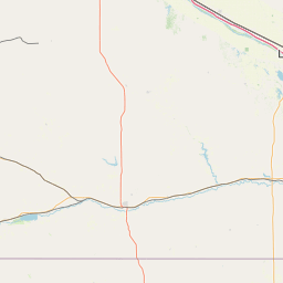
Kearney Air Force Base (IATA: EAR, ICAO: KEAR, FAA LID: EAR), was a military airport located four nautical miles (7 km) northeast of the central business district of Kearney, a city in Buffalo County, Nebraska, United States.
Latitude: 40° 43' 22.19" N
Longitude: -99° 00' 14.40" W
Nearest city to this article: Kearney, Nebraska
Read about Kearney Air Force Base in the Wikipedia Satellite map of Kearney Air Force Base in Google Maps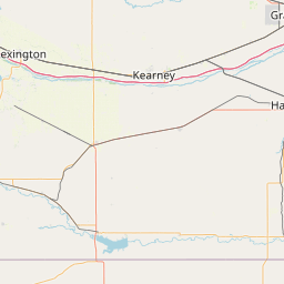

Leaflet | © OpenStreetMap contributors