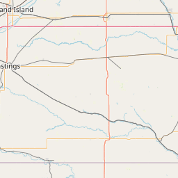
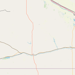
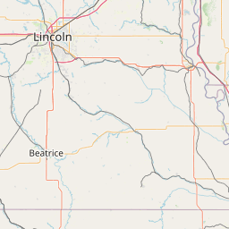
Latitude and longitude of Kearney Public Schools
- Nearby Kearney, Nebraska, United States
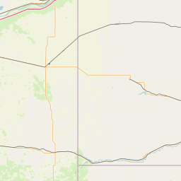
Satellite map of Kearney Public Schools
Kearney Public Schools is a school district serving the area of Kearney, Nebraska, United States.
Latitude: 40° 42' 0.58" N
Longitude: -99° 05' 9.19" W
Nearest city to this article: Kearney, Nebraska
Read about Kearney Public Schools in the Wikipedia Satellite map of Kearney Public Schools in Google Maps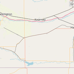

Leaflet | © OpenStreetMap contributors