Latitude and longitude of Ryan Airfield
- Nearby Drexel Heights, United States
Satellite map of Ryan Airfield
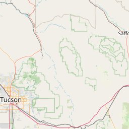
Ryan Airfield (ICAO: KRYN, FAA LID: RYN), also known as Ryan Field, is a city owned, public use airport located 10 nautical miles (12 mi, 19 km) southwest of the central business district of Tucson, a city in Pima County, Arizona, United States. It is included in the National Plan of Integrated Airport Systems for 2011–2015, which categorized it as a reliever airport. It is mostly used for general aviation but also serves a significant amount of law enforcement and military helicopter activity.
Latitude: 32° 08' 19.20" N
Longitude: -111° 10' 16.80" W
Nearest city to this article: Valencia West
Read about Ryan Airfield in the Wikipedia Satellite map of Ryan Airfield in Google Maps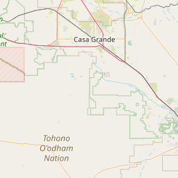

Leaflet | © OpenStreetMap contributors