Latitude and longitude of Eshel, California
- Nearby Clovis, California, United States
Satellite map of Eshel, California
Eshel is a former settlement in Fresno County, California. It was located on the Southern Pacific Railroad 3 miles (4.8 km) north-northeast of Malaga, at an elevation of 312 feet (95 m). Eshel still appeared on maps as of 1923.
Latitude: 36° 43' 11.99" N
Longitude: -119° 42' 20.39" W
Nearest city to this article: Sunnyside, California
Read about Eshel, California in the Wikipedia Satellite map of Eshel, California in Google Maps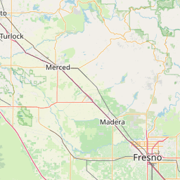

Leaflet | © OpenStreetMap contributors