Latitude and longitude of Easter Week 2006 tornado outbreak sequence
- Nearby Belle Plaine, Iowa, United States
Satellite map of Easter Week 2006 tornado outbreak sequence
The Easter Week 2006 Tornado Outbreak Sequence was a tornado outbreak sequence during the days leading up to Easter and continued into the first week after Easter.
Latitude: 42° 02' 60.00" N
Longitude: -92° 31' 12.00" W


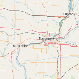


Leaflet | © OpenStreetMap contributors