Latitude and longitude of Muskegon Heights, Michigan
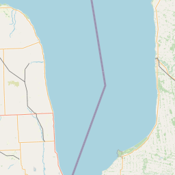
- Nearby Grand Haven, Michigan, United States
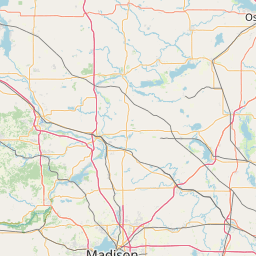
Satellite map of Muskegon Heights, Michigan
Muskegon Heights is a city in Muskegon County in the U.S. state of Michigan.
Latitude: 43° 12' 2.40" N
Longitude: -86° 14' 12.00" W
Nearest city to this article: Muskegon Heights
Read about Muskegon Heights, Michigan in the Wikipedia Satellite map of Muskegon Heights, Michigan in Google Maps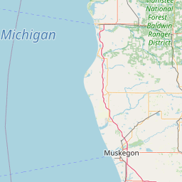

Leaflet | © OpenStreetMap contributors