Latitude and longitude of Anderson Island (Washington)
- Nearby Lakewood, Washington, United States
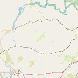
Satellite map of Anderson Island (Washington)
Anderson Island is the southernmost island in Puget Sound and is part of Pierce County, Washington, United States. It is accessible by boat or a 20 minute ferry ride from Steilacoom. Anderson Island lies just south of McNeil Island. To the northwest Key Peninsula lies across Drayton Passage.
Latitude: 47° 09' 36.00" N
Longitude: -122° 42' 36.00" W
Nearest city to this article: Longbranch
Read about Anderson Island (Washington) in the Wikipedia Satellite map of Anderson Island (Washington) in Google Maps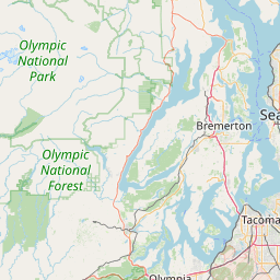

Leaflet | © OpenStreetMap contributors