Latitude and longitude of Tacoma Narrows Bridge (1950)
- Nearby Lakewood, Washington, United States
Satellite map of Tacoma Narrows Bridge (1950)
The 1950 Tacoma Narrows Bridge is a suspension bridge in the U.S. state of Washington that carries the westbound lanes of Washington State Route 16 (known as Primary State Highway 14 until 1964) across the Tacoma Narrows strait, between the city of Tacoma and the Kitsap Peninsula.
Latitude: 47° 15' 60.00" N
Longitude: -122° 32' 59.99" W
Nearest city to this article: University Place, Washington
Read about Tacoma Narrows Bridge (1950) in the Wikipedia Satellite map of Tacoma Narrows Bridge (1950) in Google Maps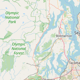


Leaflet | © OpenStreetMap contributors