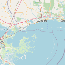
Latitude and longitude of Pensacola Light
- Nearby East Pensacola Heights, United States
Satellite map of Pensacola Light
The first Pensacola Light was the lightship Aurora Borealis. It was moved to Pensacola in 1823 from its previous post at the mouth of the Mississippi River after a lighthouse had been completed there.
Latitude: 30° 20' 28.20" N
Longitude: -87° 18' 17.40" W
Nearest city to this article: Warrington, Florida
Read about Pensacola Light in the Wikipedia Satellite map of Pensacola Light in Google Maps


Leaflet | © OpenStreetMap contributors