Latitude and longitude of Ferry Pass, Florida
- Nearby East Pensacola Heights, United States
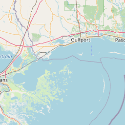
Satellite map of Ferry Pass, Florida
Ferry Pass is a census-designated place (CDP) in Escambia County, Florida, United States. The population was 28,921 at the 2010 census.
Latitude: 30° 30' 26.99" N
Longitude: -87° 12' 3.00" W
Nearest city to this article: Ferry Pass
Read about Ferry Pass, Florida in the Wikipedia Satellite map of Ferry Pass, Florida in Google Maps


Leaflet | © OpenStreetMap contributors