Latitude and longitude of Mesa Public Schools
- Nearby Avondale, Arizona, United States
Satellite map of Mesa Public Schools
Mesa Public Schools (incorporated as Mesa Unified School District #4) is the unified school district for the city of Mesa, Arizona, United States.
Latitude: 33° 21' 18.07" N
Longitude: -111° 52' 6.10" W
Nearest city to this article: San Carlos, Arizona
Read about Mesa Public Schools in the Wikipedia Satellite map of Mesa Public Schools in Google Maps
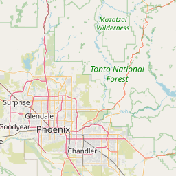


Leaflet | © OpenStreetMap contributors