Latitude and longitude of Cuero, Texas
- Nearby Yoakum, Texas, United States
Satellite map of Cuero, Texas
Cuero (/ˈkwɛəroʊ/ QUAIR-oh) is a city in DeWitt County, Texas, United States. The population was 6,841 at the 2010 census. It is the county seat of DeWitt County. It is also unofficially known as the "turkey capital of the world" (this is reflected in the Cuero High School mascot, the Gobblers).
Latitude: 29° 05' 22.20" N
Longitude: -97° 17' 16.80" W
Nearest city to this article: Cuero
Read about Cuero, Texas in the Wikipedia Satellite map of Cuero, Texas in Google Maps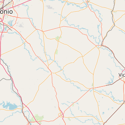


Leaflet | © OpenStreetMap contributors