Latitude and longitude of Cuero Municipal Airport
- Nearby Cuero, United States
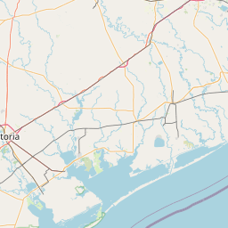
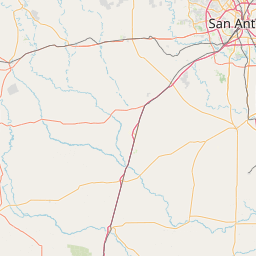
Satellite map of Cuero Municipal Airport
Cuero Municipal Airport (FAA LID: T71) is a public airport located approximately 1 mile (1.6 km) east-southeast of Cuero, Texas.
Latitude: 29° 04' 34.20" N
Longitude: -97° 15' 34.80" W
Nearest city to this article: Cuero
Read about Cuero Municipal Airport in the Wikipedia Satellite map of Cuero Municipal Airport in Google Maps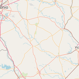


Leaflet | © OpenStreetMap contributors