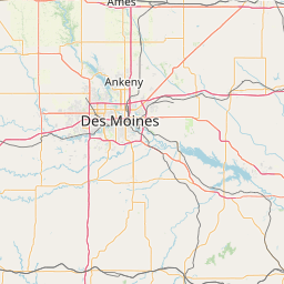
Latitude and longitude of Campbell's Island State Memorial
- Nearby Davenport, Iowa, United States
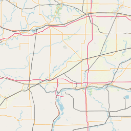
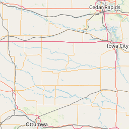
Satellite map of Campbell's Island State Memorial
Campbell's Island State Memorial is a granite monument that marks the site of a day-long battle on July 19, 1814 during the War of 1812 on Campbell's Island, Illinois.
Latitude: 41° 32' 18.24" N
Longitude: -90° 26' 11.76" W
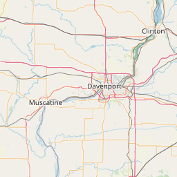


Leaflet | © OpenStreetMap contributors