Latitude and longitude of Walnut Ridge Baptist Academy
- Nearby Cedar Falls, Iowa, United States
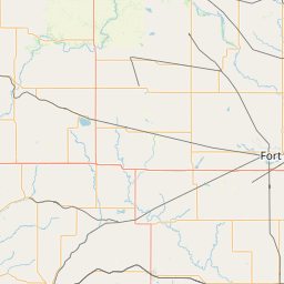
Satellite map of Walnut Ridge Baptist Academy
Walnut Ridge Baptist Academy is private K-12 Christian school in Waterloo, Iowa
Latitude: 42° 28' 4.80" N
Longitude: -92° 22' 37.20" W
Nearest city to this article: Evansdale, Iowa
Read about Walnut Ridge Baptist Academy in the Wikipedia Satellite map of Walnut Ridge Baptist Academy in Google Maps


Leaflet | © OpenStreetMap contributors