Latitude and longitude of Iowa Highway 281
- Nearby Cedar Falls, Iowa, United States
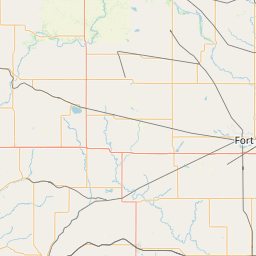
Satellite map of Iowa Highway 281
Iowa Highway 281 (Iowa 281) is a 28-mile-long (45 km) state highway in north-central Iowa.
Latitude: 42° 29' 32.05" N
Longitude: -92° 15' 19.20" W
Nearest city to this article: Waterloo, Iowa
Read about Iowa Highway 281 in the Wikipedia Satellite map of Iowa Highway 281 in Google Maps


Leaflet | © OpenStreetMap contributors