Latitude and longitude of Jesup, Iowa
- Nearby Cedar Falls, Iowa, United States
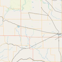
Satellite map of Jesup, Iowa
Jesup is a city in Buchanan County and only partly in Black Hawk County in the U.S. state of Iowa. The population was 2,520 at the 2010 census.
Latitude: 42° 28' 19.79" N
Longitude: -92° 03' 27.60" W
Nearest city to this article: Jesup, Iowa
Read about Jesup, Iowa in the Wikipedia Satellite map of Jesup, Iowa in Google Maps


Leaflet | © OpenStreetMap contributors