Latitude and longitude of Pikeville Cut-Through
- Nearby Pikeville, Kentucky, United States
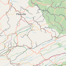
Satellite map of Pikeville Cut-Through
The Pikeville Cut-Through is a rock cut in Pikeville, Kentucky, United States created by the U.S. Army Corps of Engineers, through which passes a four-lane divided highway (Corridor B, numbered as US 23, US 119, US 460, and KY 80), a railroad line (CSX Big Sandy Subdivision), and the Levisa Fork of the Big Sandy River. It is one of the largest civil engineering projects in the western hemisphere, moving nearly 18,000,000 cubic yards (14,000,000 m3) of soil and rock, compared to the Big Dig (15 million cubic yards) and the Panama Canal (240 million cubic yards). Dr. William Hambley, who served as mayor of Pikeville for 29 years, Robert H.
Latitude: 37° 28' 30.97" N
Longitude: -82° 32' 20.08" W
Nearest city to this article: Pikeville, Kentucky
Read about Pikeville Cut-Through in the Wikipedia Satellite map of Pikeville Cut-Through in Google Maps