Latitude and longitude of Betsy Layne, Kentucky
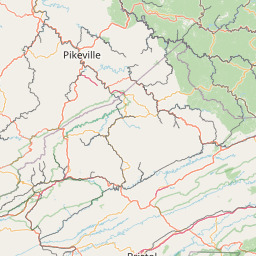
- Nearby Pikeville, Kentucky, United States
Satellite map of Betsy Layne, Kentucky
Betsy Layne is a census-designated place and coal town in Floyd County, Kentucky, United States. It was established in 1875 along the Betsy Layne Branch of the Levisa Fork. The post office opened on May 1, 1908, with Clayton L. Hitchins as postmaster.
Latitude: 37° 33' 2.99" N
Longitude: -82° 38' 0.59" W


Leaflet | © OpenStreetMap contributors